 OregonOutdoor Discovery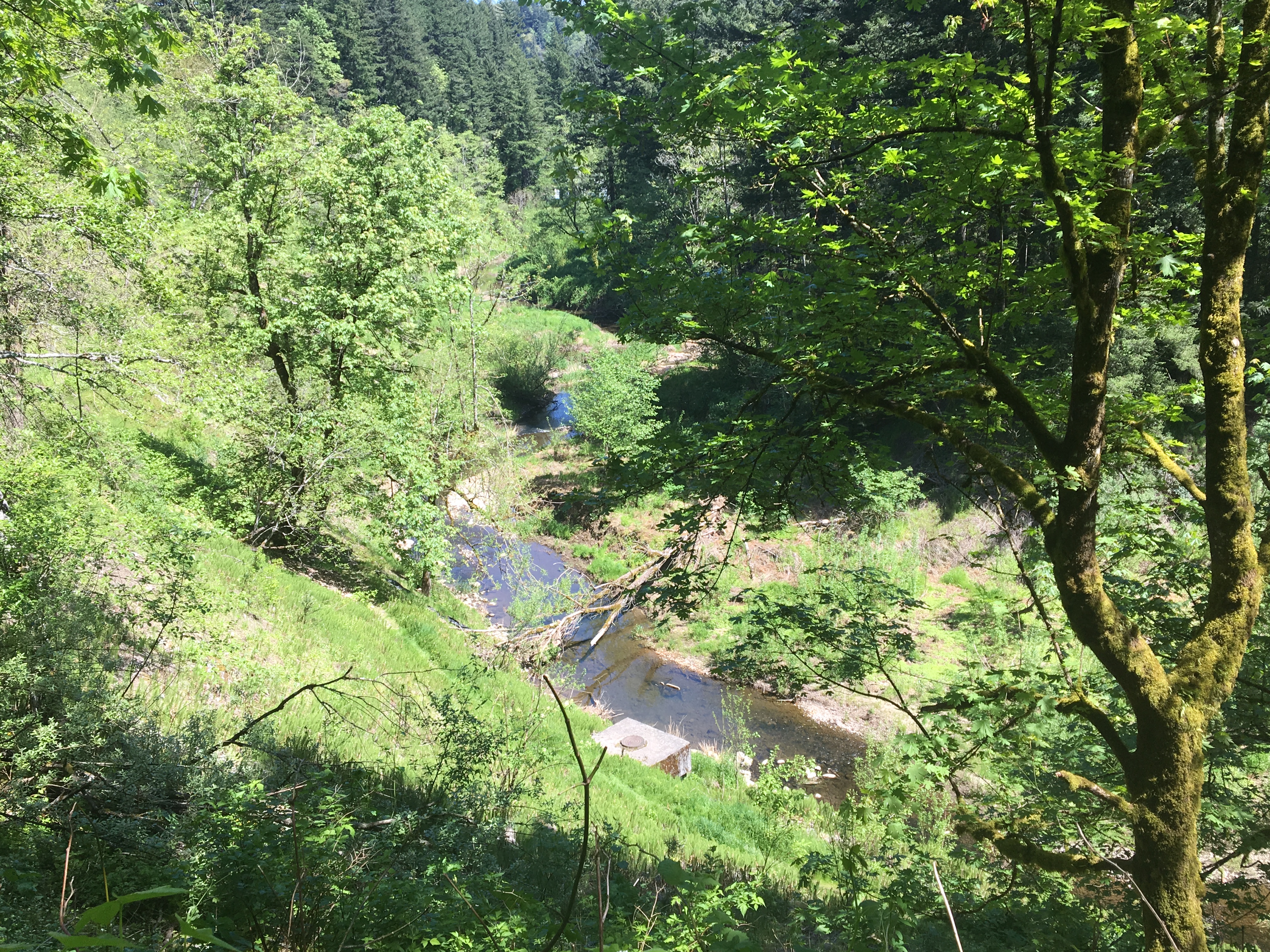
Troutdale · Multnomah County · trail · 75.9 acres
Beaver Creek Greenway
5.0Google rating(1 review)
Search to see how this park fits your needs.
At a glance
- Hours
See official page for current hours
Visitor amenities
Amenities are not listed for this place yet. Check the official page for current facilities.
Location map
Pin location for directions and nearby context.
Park size map
Approximate footprint based on 75.9 acres.
On the ground
Trails
Overview
About this park
The new Beaver Creek Bridge is coming soon! During construction, the trailhead and small park at SE Evans Ave. and the trail down to the creek will be closed.
Trailheads are located across Beavercreek Lane from Weedin Park, near the intersection of SE Chapman Avenue and Beavercreek Lane, and near the intersection of SE 11th Circle and Beavercreek Lane.
The City is currentl
Setting
Landscape & setting
Thank you for understanding! Located east of Troutdale Road at the confluence of the Sandy River and extending south to Cochrane Drive, this greenway is 75.
86 acres in size, with an additional 79. 88 acres purchased by Metro and maintained by the City. The site is comprised of numerous parcels of land that lie along Beaver Creek.
Access
Access & hours
Facilities are limited to natural trails. A majority of the canyon is heavily wooded and provides open space and wildlife habitat.
Access is available through several adjacent greenway parcels.
Today
Weather
Forecast is advisory — confirm park hours before you go.
Nearby
More parks in Troutdale
Data quality
Sources
Confidence checks: coordinates · website · image · hours · amenities (and last verified when known).
Confidence score
70/ 100
Troutdale Parks Website
- official website
- coordinates
- amenities
- hours
- image
- last verified
Unknown statuses are not treated as open.