 OregonOutdoor Discovery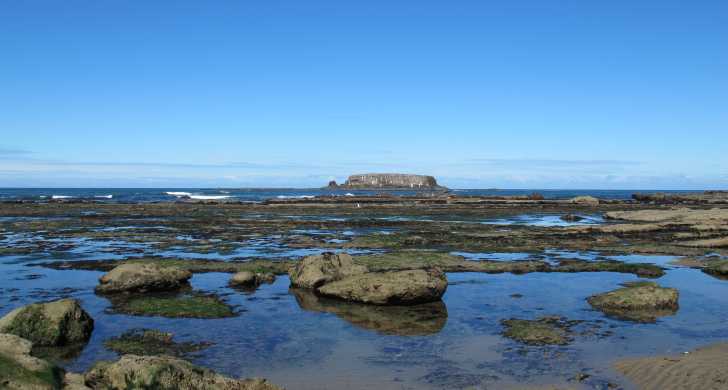
Newport · natural area · 8.17 acres
Devils Punchbowl State Natural Area
4.7Google rating(5,790 reviews)
Search to see how this park fits your needs.
At a glance
- Hours
See official page for current hours
Visitor amenities
…stay a while
- Parkingfacility
- Restroomfacility
- Picnic Areafacility
…be in nature
- Hiking Trailsnature
- Vista Pointnature
…near water
- Beachwater
…culture & learning
- Interpretiveculture
Accessibility
Structured attributes when known. Unknown stays blank — we never invent access.
- Wheelchair accessible
- Accessible parking
- Accessible entrance
Google category: State park Google service options: Wheelchair accessible entrance; Wheelchair accessible parking lot; Wheelchair accessible seating; Onsite services
Browse wheelchair-accessible parksBest for
Suitability from published amenities — not invented by AI.
- Seniors
- seniors80
- family50
- kids40
- nature40
- toddlers33
Park size map
Official park boundary from GIS.
On the ground
Trails
Overview
About this park
Surfers and surf watchers energize this area!
During winter storms, water from the restless ocean slams with a thundering roar into a hollow rock formation shaped like a huge punch bowl.
The surf churns, foams, and swirls as it mixes a violent brew. The park is a popular whale watching site and displays an intriguing geology.
Please respect the private property surrounding the park.
On site
Amenities & facilities
The punch bowl was probably created by the collapse of the roof over two sea caves, then shaped by wave action. This is a scenic picnic spot atop the undulating rocky shoreline.
Access
Access & hours
Don't forget to explore the tidepools on the north side of the punch bowl! NOTE: Parking is limited and is only allowed in parking stalls.
Background
History & notes
Acquired between 1929 and 1971, the first land was given to the state by F. W. and C. P. Leadbetter. Later tracts were purchased from other private owners. In the early 1900s, a long wooden slide, "chute the chutes," provided access from the Otter Rock bluff to the beach. In the 1930s, the Civilian Conservation Corps developed day use improvements for the park, including picnic tables, restrooms, fountains, water supply, fire places, a foot trail and steps to the beach. In the 1970s, the park was expanded into the Otter Rock community for parking and restroom facilities.
Today
Weather
Forecast is advisory — confirm park hours before you go.
Plan your visit
Nearby
More parks in Newport
Data quality
Sources
Confidence checks: coordinates · website · image · hours · amenities (and last verified when known).
Confidence score
84/ 100
Oregon State Parks
- official website
- coordinates
- amenities
- hours
- image
- last verified
Unknown statuses are not treated as open.